Free shipping on all UK mainland orders - no minimum order price.
Couldn't load pickup availability
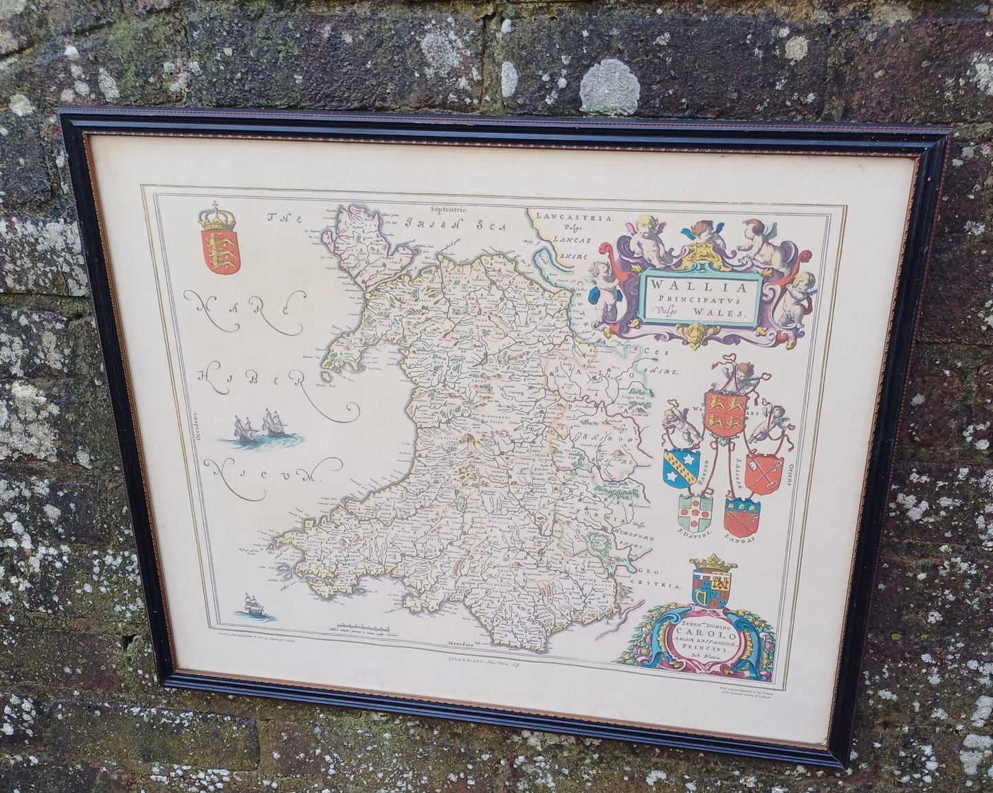
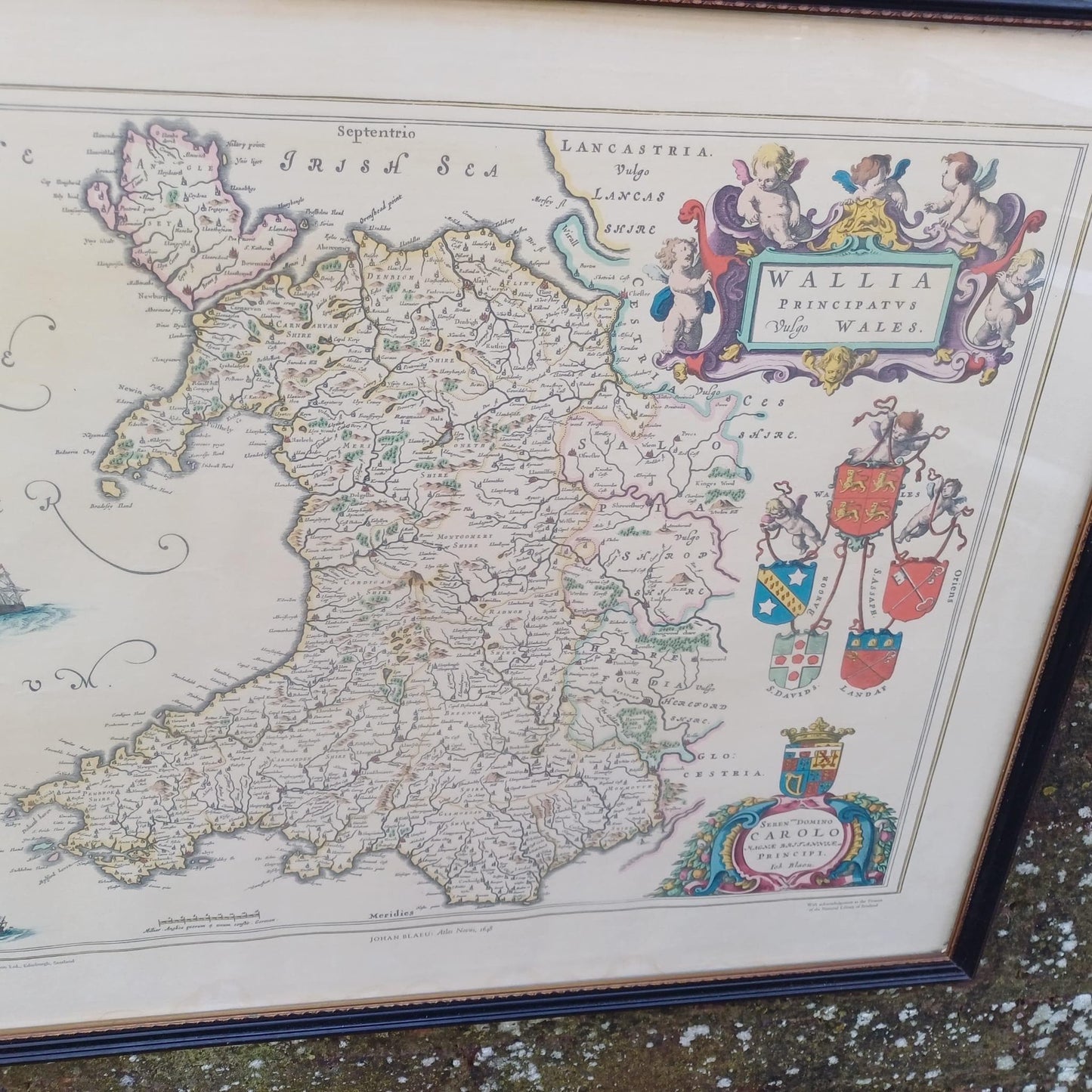
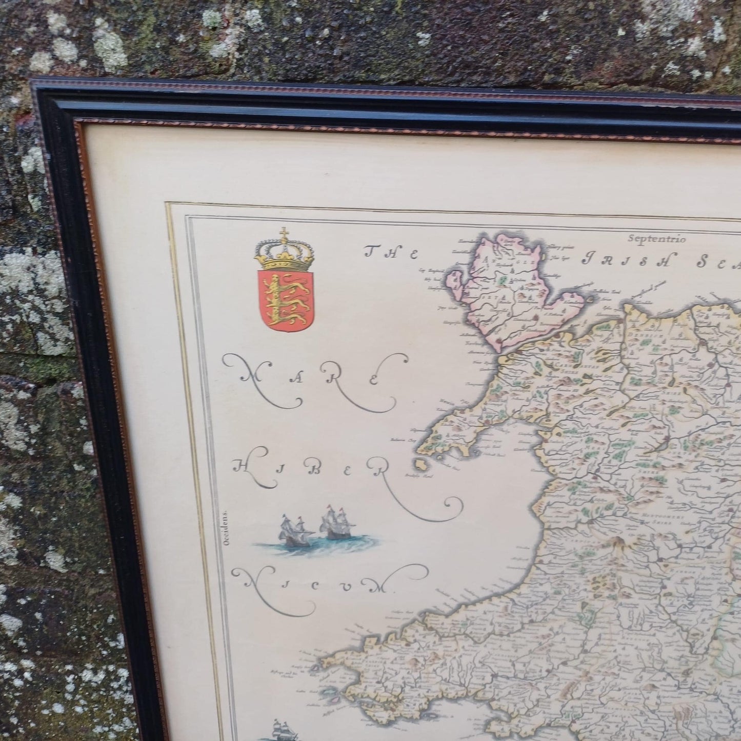
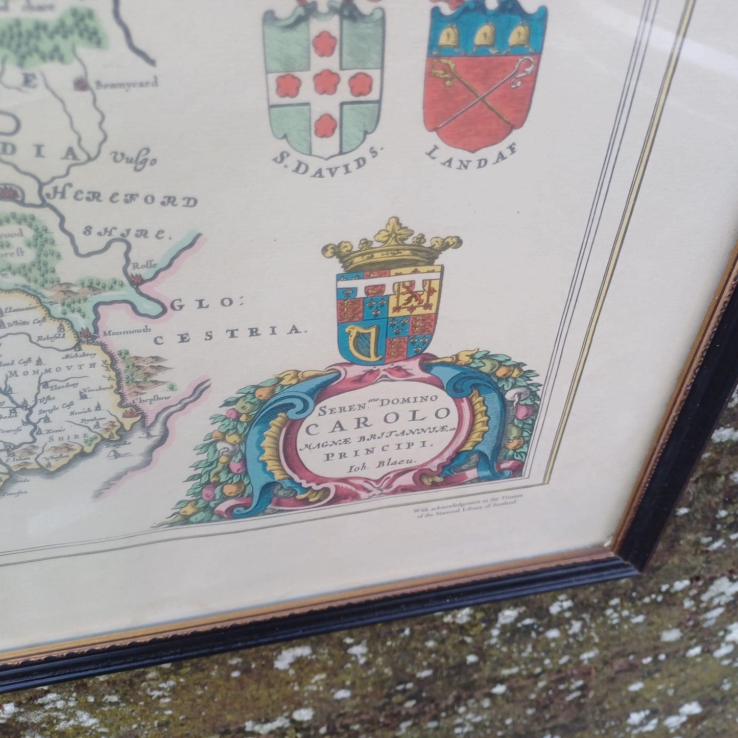
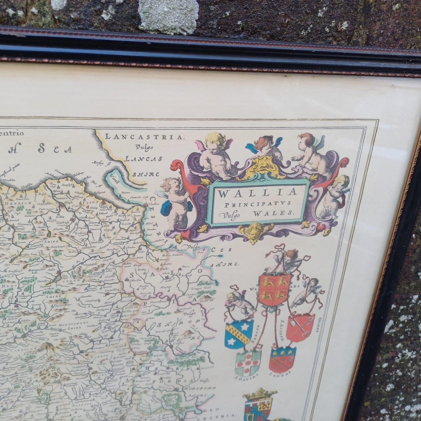
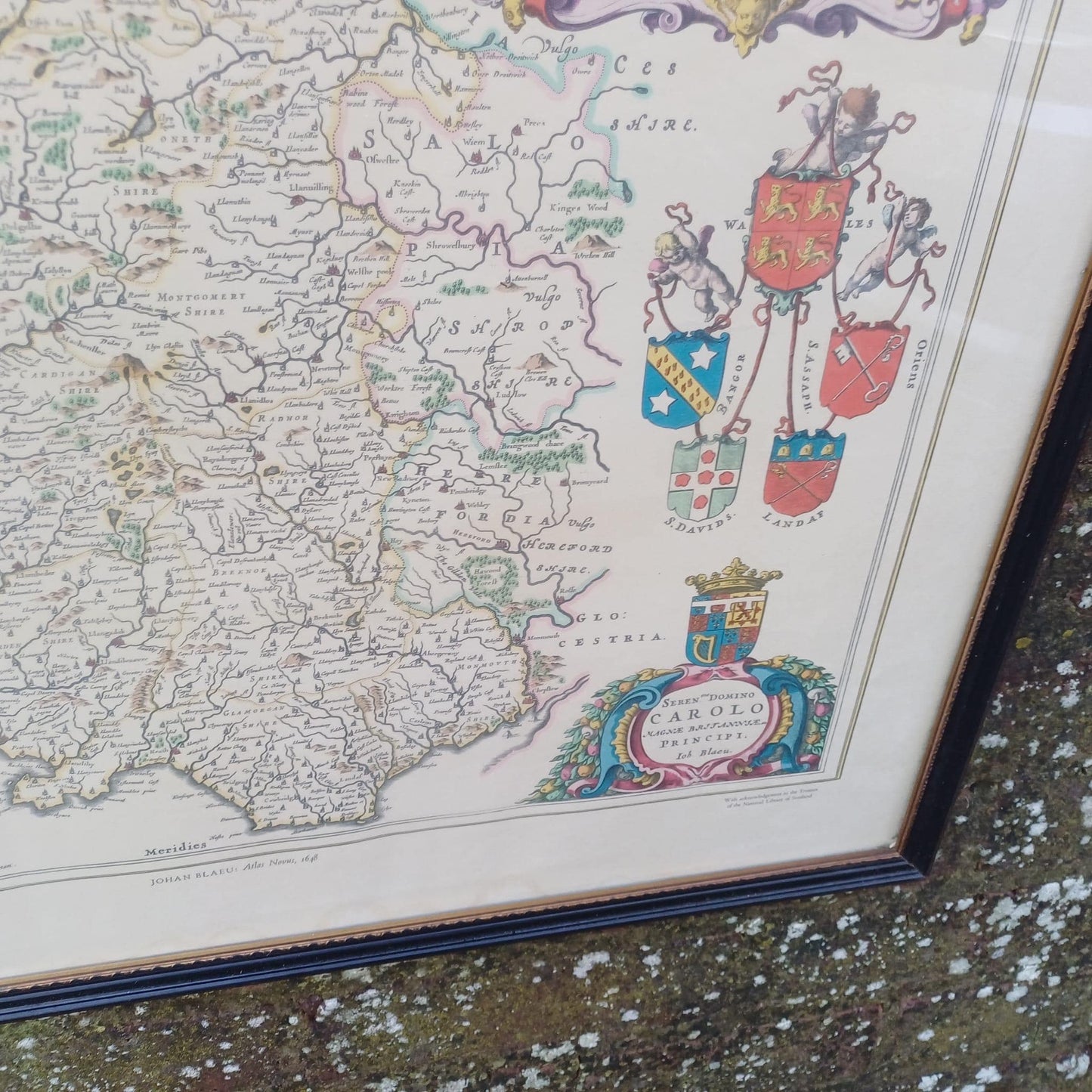
A marvellous vintage map of Wales or Wallis as it was called. Blaeu was a famous cartographer from Holland in the 1600s who helped capture and document places around the world. Gorgeously detailed map of Wales from 1648 and the. Printed in the early 20th Century by John Bartholomew of Edinburg in conjunction with the Scottish National Library. One of the many maps making up the Magna Britannie by Blaeu.
This print is in lovely condition and is framed in a vintage black wooden frame from around the 1960s. Besides obvious signs of age on the frame it is in great condition.
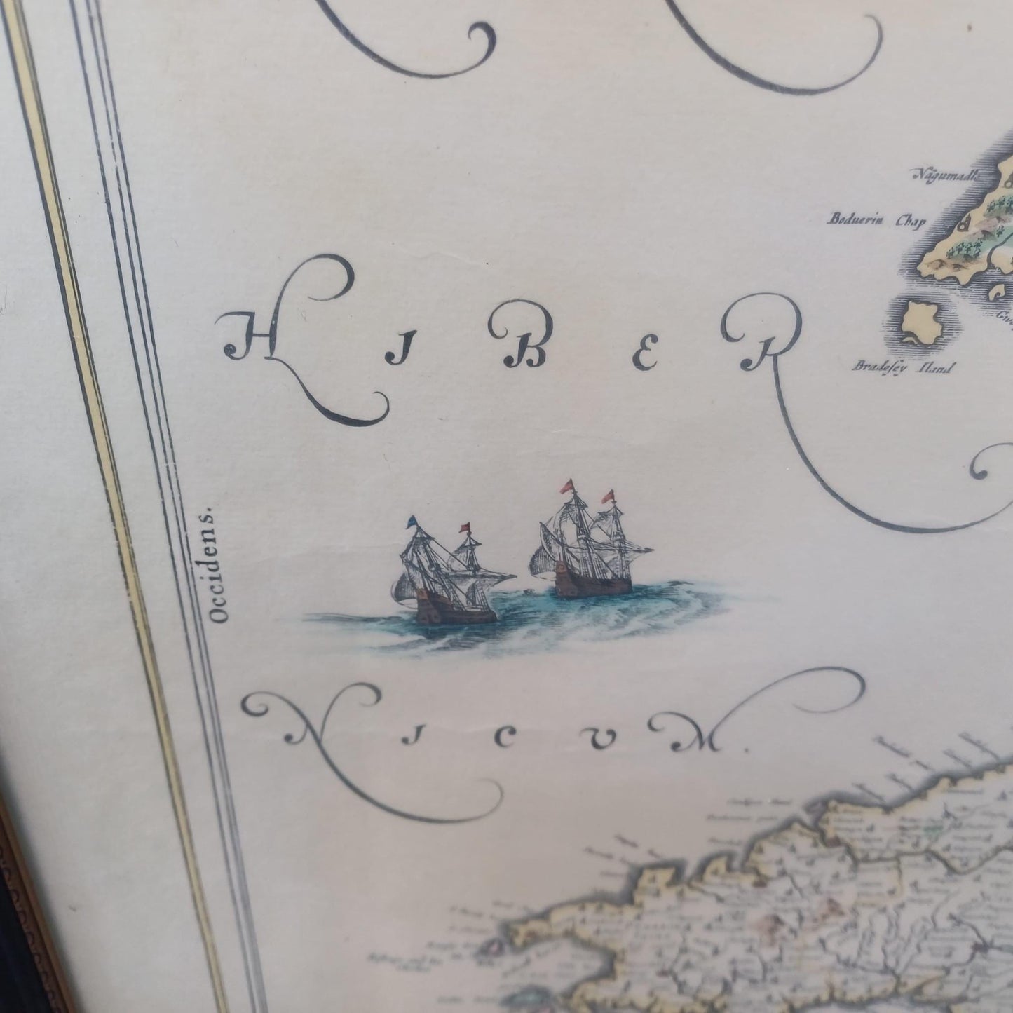
Love maps! You can look and see if you can find relevant places. Amazing how many places we know now were actually in existence 400 yrs ago. Map shows Coats of Arms of St Davids, Bangor, Wales, Swansea and Landaf.