Free shipping on all UK mainland orders - no minimum order price.
Couldn't load pickup availability
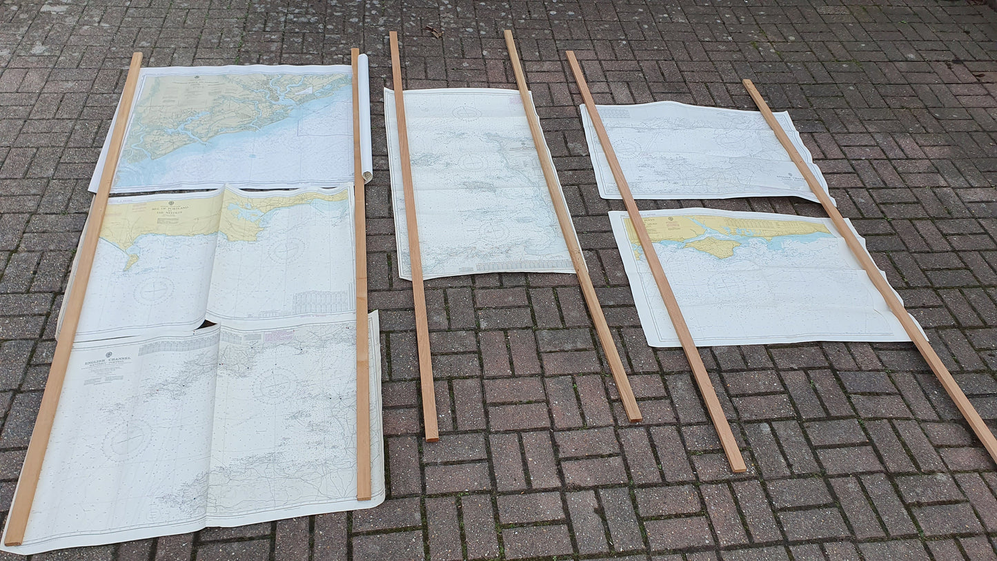
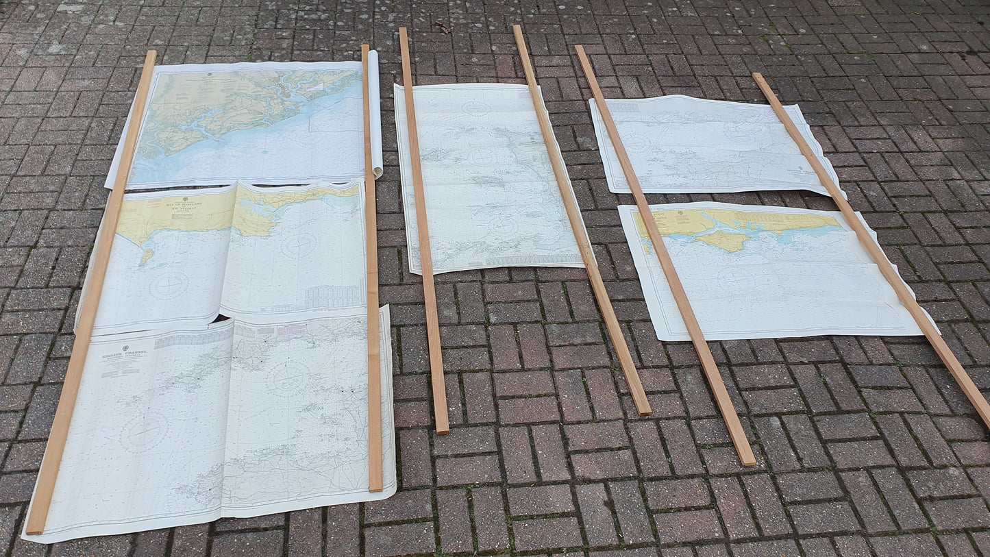
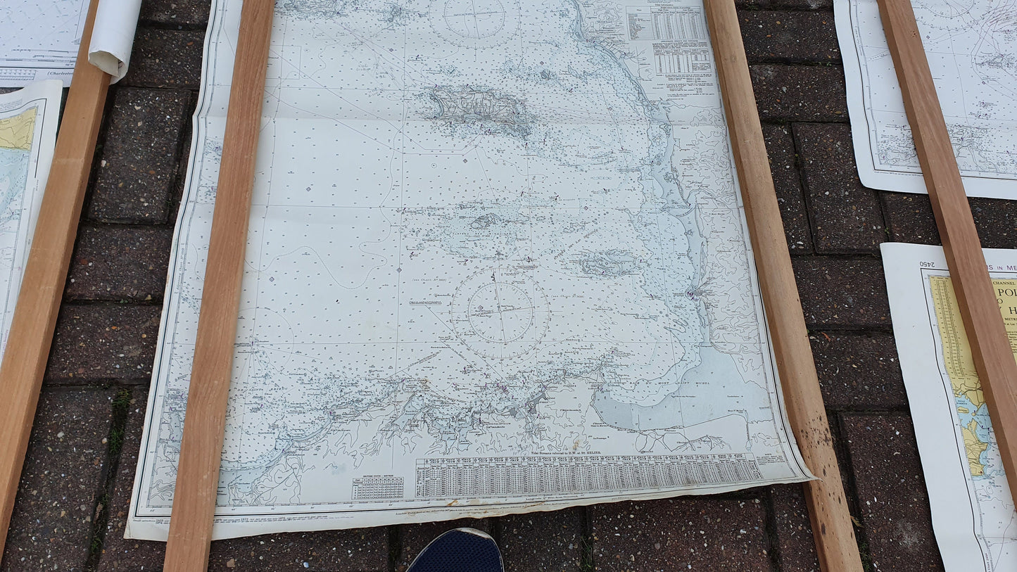
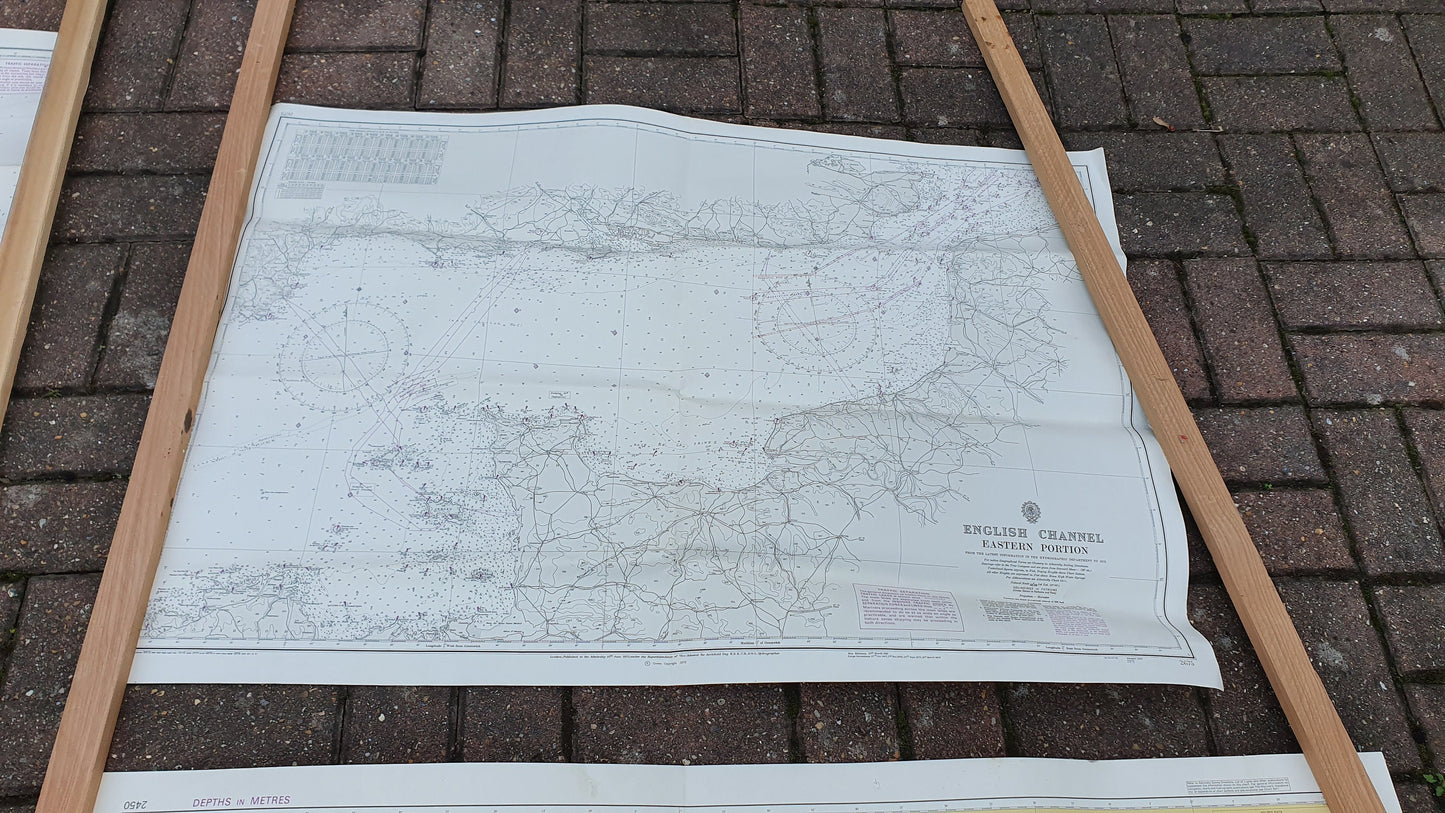
Six fascinating nautical charts, mostly of the English Channel and south coast of England from the late 1960s to early 1970s. Some great detail in these, they would look great framed.
They are in good condition, some close to very good. Some are dirty on the back, some creasing on the edges. They have a slight yellow patina apart from the American one which retained a lot more of the original white.
Made of paper, the English charts are 102 x 71 cm or 117 x 70 cm
English Channel - Eastern Portion (1972) - nice front on the front
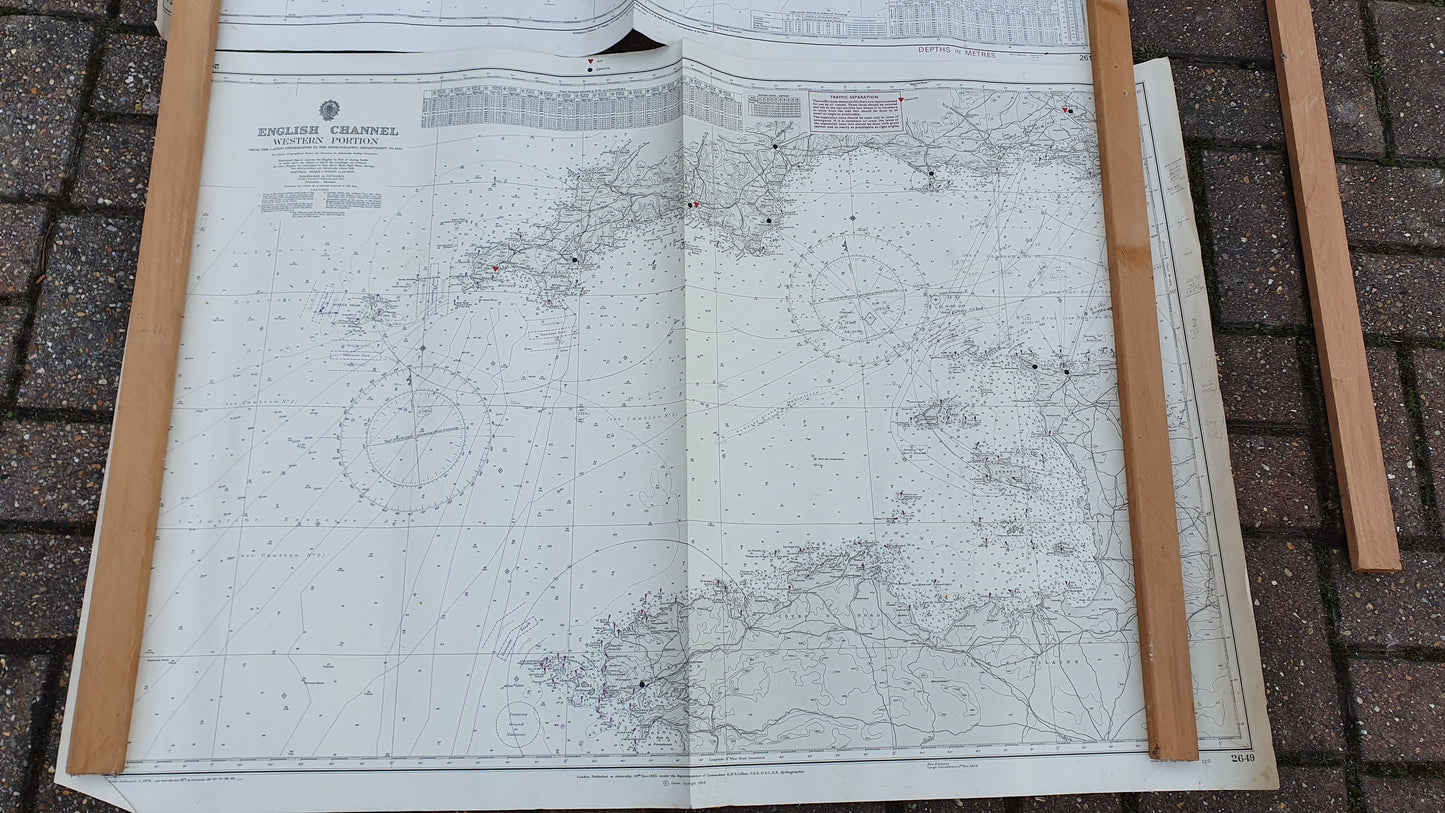
English Channel - Western Portion (1968) - small black / red stickers, some writing in pen
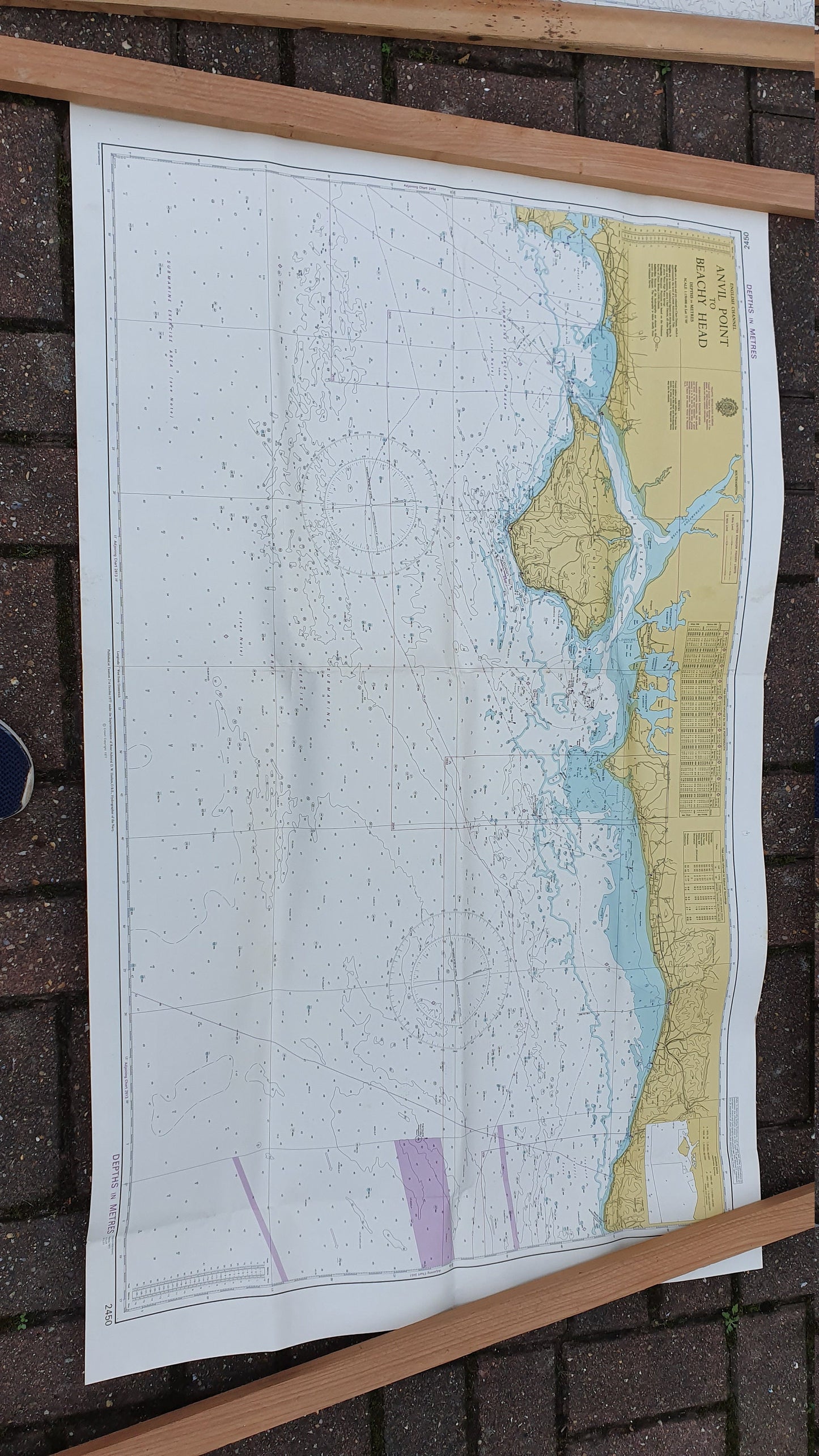
English Channel - Anvil Point to Beachy Head (1977) nice on the front
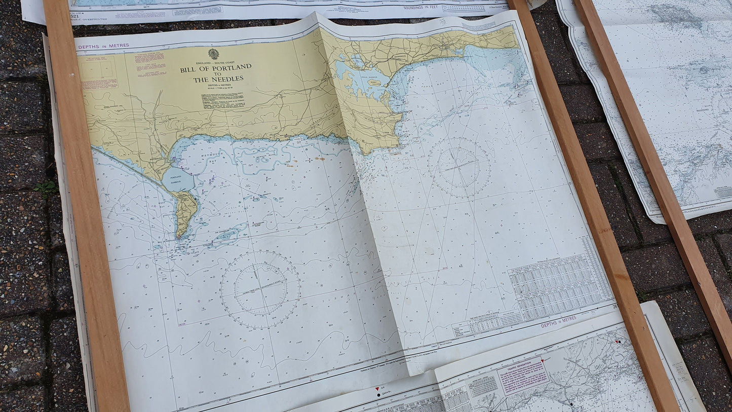
English Channel - Bill of Portland to the Needles (1974) some foxing stains on it
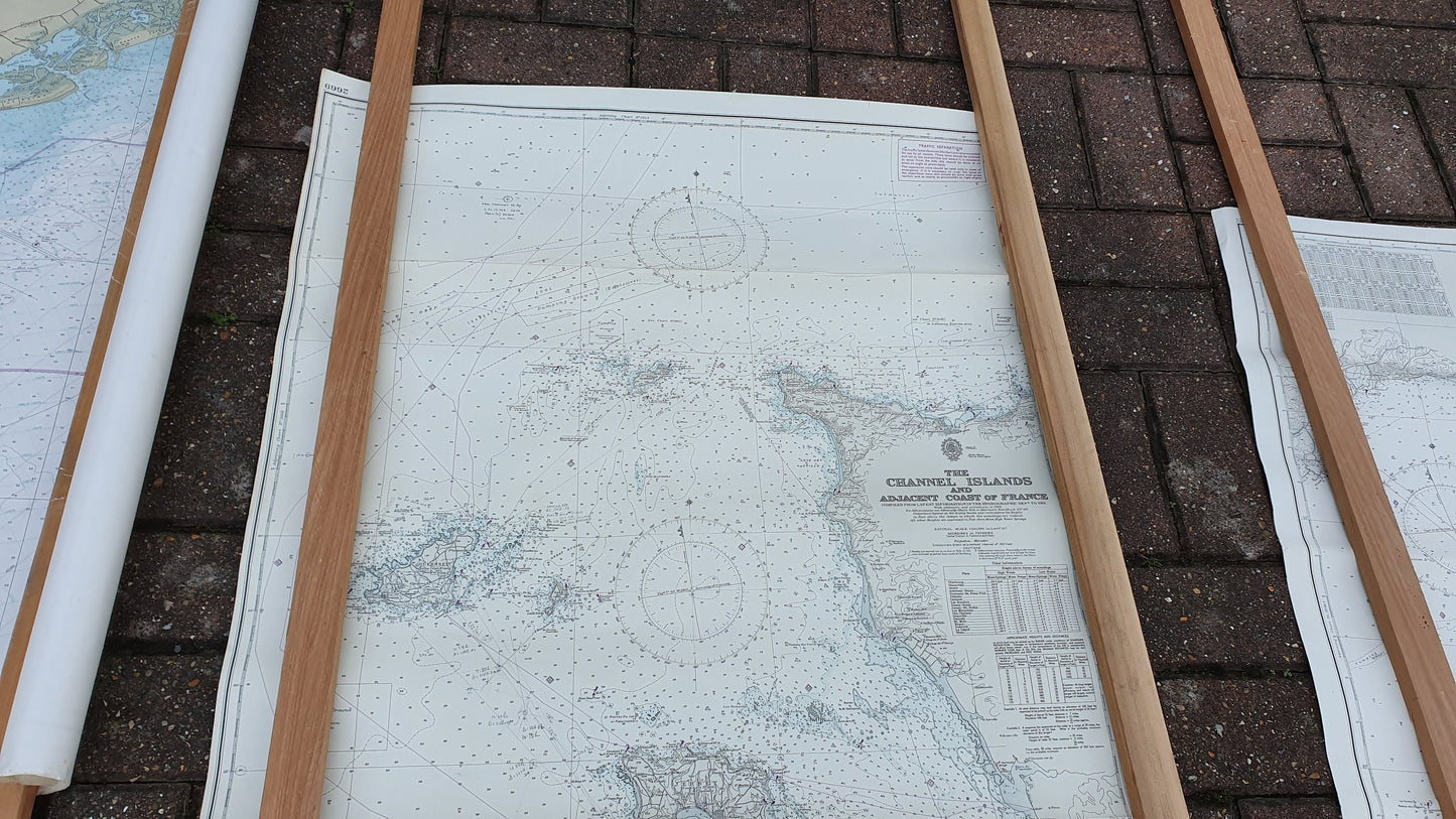
Channel Islands and adjacent Coast of France (1968) some brown stains at the bottom
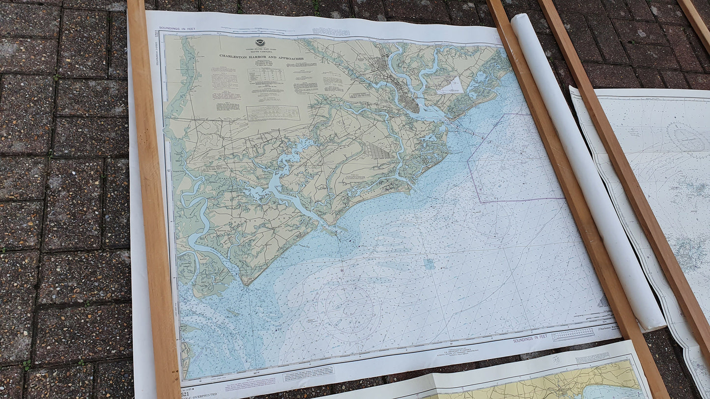
South Carolina, USA - Charleston Harbor and Approaches - small amount of foxing 121 x 91 cm